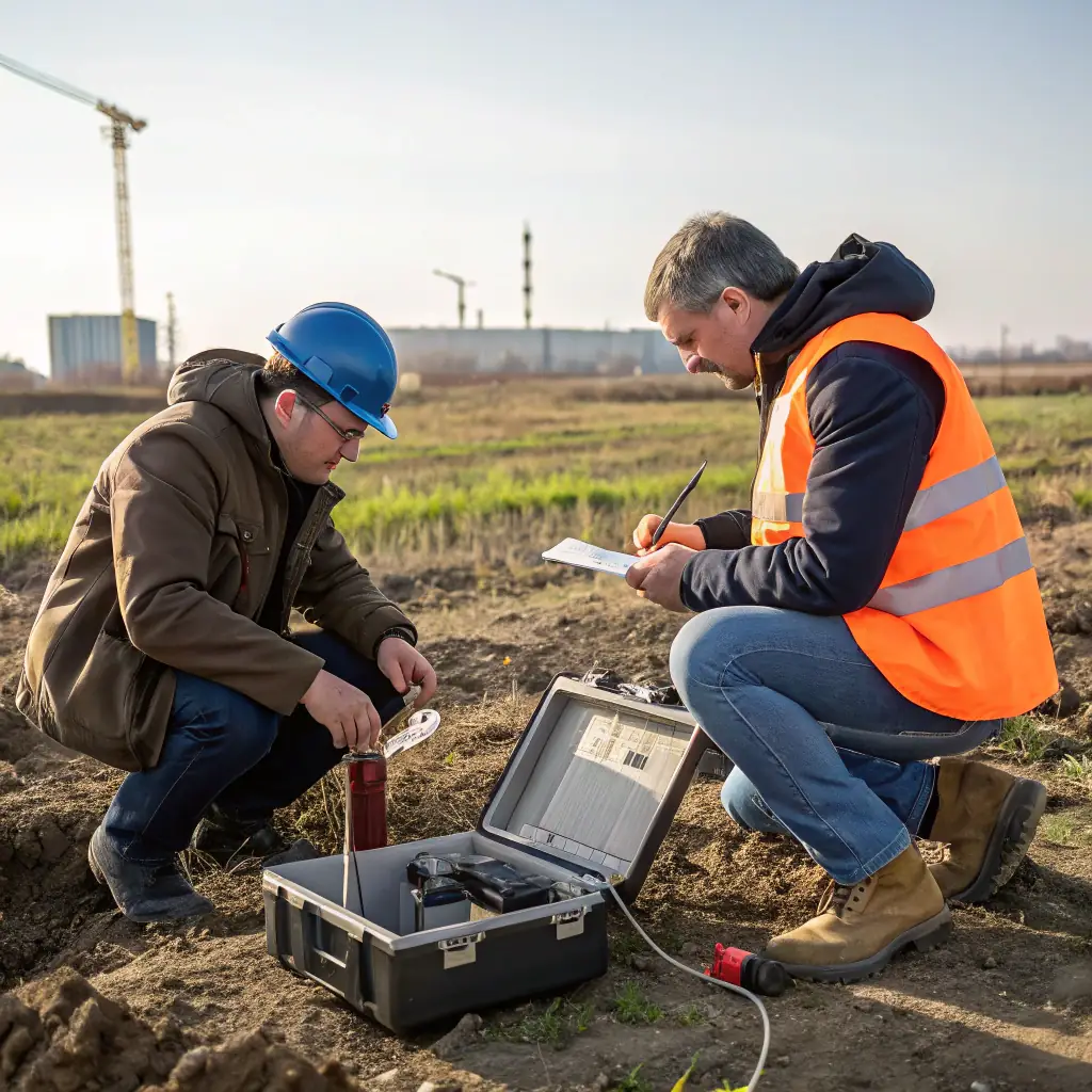
Expert Field Services for Erosion Control Projects
At Er-Contech, our field services are the backbone of our commitment to providing effective erosion control solutions. With decades of experience, we deliver reliable and innovative services tailored to meet the unique challenges of each project, ensuring optimal results and client satisfaction.
- Comprehensive Site Assessments: Detailed evaluations to understand erosion risks.
- Precision Surveying: Accurate data collection for informed decision-making.
- Real-time Data Support: On-the-spot analysis for efficient project management.
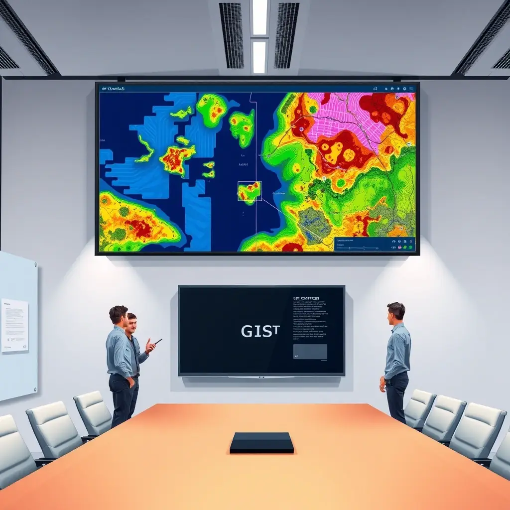
Precision GIS Mapping for Effective Project Management
Er-Contech’s GIS mapping services provide accurate spatial data and analysis, crucial for planning, design, and environmental compliance. Our expertise ensures your projects are built on a solid foundation of reliable geographic information, leading to better outcomes and reduced risks.
- Land Cover/Land Use Mapping: Detailed analysis for informed decisions.
- Floodplain Mapping: Identify and mitigate flood risks effectively.
- Infrastructure Attribute Collection: Comprehensive data for asset management.
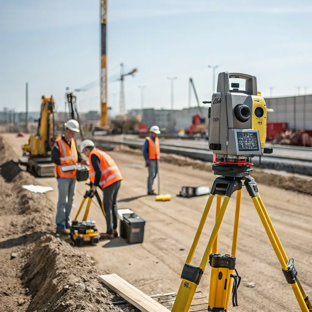
Precision Surveying and Data Solutions for Optimal Project Outcomes
Er-Contech provides comprehensive surveying and data support services, ensuring accuracy and efficiency in every project phase. Our experienced team utilizes advanced technology to deliver reliable data, supporting informed decision-making and successful project execution. We are committed to meeting your specific needs with tailored solutions.
- Topographic Surveys: Detailed land mapping for design and planning.
- Utility Location: Accurate underground utility detection to prevent disruptions.
- Data Analysis: Comprehensive data interpretation for informed decisions.